


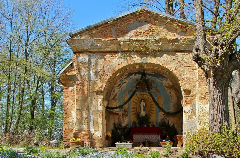
A group of scientists led by geographers and landscape ecologists from Mendel University in Brno are looking for 70 villages and settlements that disappeared in Moravia and Silesia. Their goal is to map these lost villages and solve the mystery of their disappearance. Photo: The Chapel of St. Anne in Pelhřimovy, Czech Republic. Credit: Ralf Lotys (Sicherlich) under license CC BY 3.0.
Czech Rep., Dec. 17 (BD) – Between the end of the Second World War and 1989, 70 villages and settlements disappeared in Moravia and Silesia. A team of researchers from Brno’s Mendel University are taking on the task of mapping their locations and recording how the territory looks today. The five-year project will be assisted by historians of Contemporary History from the Czech Academy of Sciences and computer scientists from Masaryk University. The final results are expected by 2022.
The researchers are not only concerned with recording the geographical location of these lost villages, but will also try to understand the factors that led to their disappearance. The study has highlighted the displacement of residents of German nationality as one of the main causes behind the erasing of these settlements.
“The reasons for their extinction were, among other things, natural conditions, especially a significantly colder climate, higher altitude and fragmentation of the territory, lower soil fertility and the like. For these reasons, previously German villages were not settled after 1945, the houses were demolished by the state in organized demolitions, and often sacred monuments have not been preserved, ” explained Hana Vavrouchová from the Institute of Applied and Landscape Ecology at Mendel University.
Landscape-ecological data was combined with preserved statistical data, maps from the period, and historical literature to identify the villages. Researchers then compare historical maps with current ones, verifying their findings on the field later on.

“Currently, the database of historical, demographic and landscape-ecological information and photo documentation for individual settlements is being finalized, which will then be visualized in an interactive map” added Vavrouchová. The scientists have also recorded the memories of several witnesses who still remember these lost villages.
The project has been funded by the Ministry of Culture. Beyond the interactive map, the project will culminate in an exhibition, planned for 2022, which will include 3D models of the villages. The exhibition will travel the Jesenice region and will be open to all those who want to take a sneak peek into what the region used to look like.