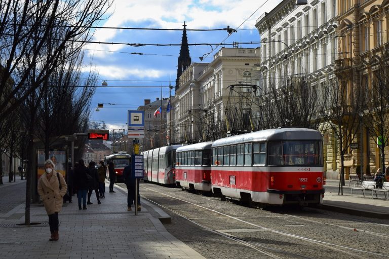
The Brno City Architect’s Office (KAM) has made the proposed zoning plan for Brno available as an online exhibition, to allow the public the opportunity to participate in the project. The current zoning plan has been in place since 1994 and is the oldest in the Czech Republic. The new zoning plan will be completed by the end of 2022. Photo Credit: KB / BD.
Brno, Apr 6 (BD) – The City of Brno’s new zoning plan is now available to view as an online exhibition, as a joint project of the Urban Center and the City Architect’s Office (KAM), which also drew up the proposal. The online exhibition outlines the origins of the plan, and explains in detail its importance to the city.
The “Exhibition of 381,348 Spatial Planners” was set to take place in the Urban Center, but the ongoing epidemic situation means it has moved to a virtual environment. The name of the exhibition is a reference to the population of the city, as the organisers want to encourage participation in the public consultation over the plan.
The exhibition covers all aspects of the plan that are important for the development of the city. KAM identified nine “burning questions”, which are dealt with in detail, including urban greenery, the city’s allotment sites, and bicycle transport. The exhibition also provides information about strategic locations in the city where new buildings or even entire new neighbourhoods are planned, and the revitalisation and new uses of brownfield sites. The draft zoning plan views the city as a living and ever-changing organism.
Over the course of this year, there will be an extensive public consultation on the new zoning plan, which has been in development for 18 long years. The City of Brno has committed itself to completing and approving the plan by the end of 2022, when the current plan will expire.
The new zoning plan will provide a framework for the development of the city in the 21st century. It will say where new houses can be built, designate areas intended for housing, commerce or the construction of public facilities, and determine the maximum height of buildings. It will also define the green spaces of the city, and which areas will be protected for parks, urban forests or possibly agriculture.


