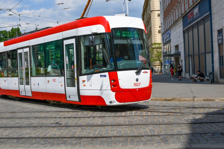
All lines operated under the banner of IDS JMK, including city transport lines in Brno operated by DPMB, trains and regional buses, appear on the app. Photo credit: KK / BD.
Brno, May 24 (BD) – Information about the current location and delays on Brno’s public transport routes is now included in Google Maps and on Google’s search engine. Until recently, this information could only be found in the official applications IRIS, POSEIDON or DPMBInfo.
These apps also displayed current delays of trains, buses and trams. However, after demanding negotiations with Google, Kordis has supplemented its systems with the necessary data. The systems have been tested and the GTFS real-service has been fully operational from the beginning of May. Data is also sent to global mapping, traffic and navigation systems operated under Google’s trade name.
Director of Kordis, Jiří Horský explained: “We are aware that tourists, especially those from abroad, who come to our region or the city of Brno, are not willing to install our local applications. Their first choice when travelling by public transport is Google Maps. That is why we have been striving to increase the accuracy of searches in these services for a long time. We wanted to supplement the static timetable data, which we have been supplying to Google for all IDS JMK lines for many years, with data responding to current traffic or delays.”
The Google application now incorporates current delays when searching for a connection. It displays this information to the user and adjusts the searched connection depending on it. In addition, the current location of the vehicle is also displayed. All lines operated under the banner of IDS JMK, including city transport lines in Brno operated by DPMB, trains and regional buses, appear on the app.
The application also displays current text information from Kordis and DPMB dispatchers, in the case of an emergency on the route. “The emergency reporting systems of both companies are linked,” said Miloš Havránek, CEO of DPMB. “Passengers will thus receive real-time information on where their connection is located and what is happening on the route, so that they can adapt their trip to the given emergency.”


